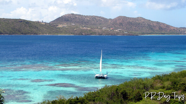
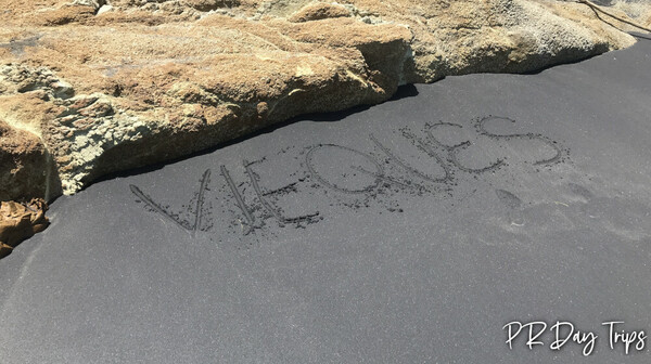
Culebra • Old San Juan • Porta Antillas (East) • Porta Atlantico (North) • Porta Caribe (South) • Porta Cordillera (Central) • Porta del Sol (West) • San Juan Metro • Vieques
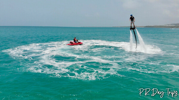
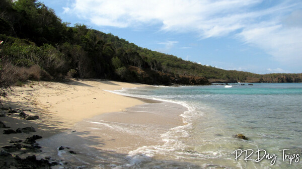
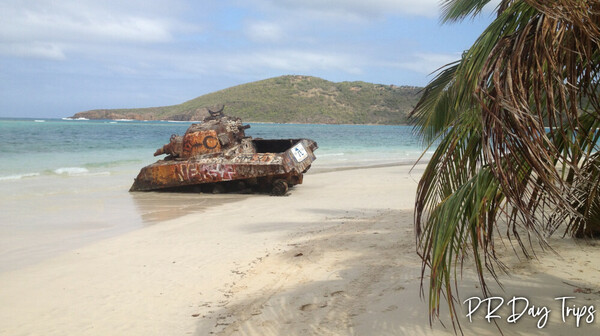
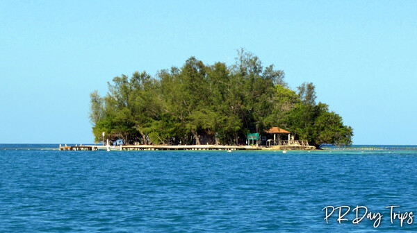
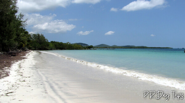
Art • Beach • Dance • Featured • General • Hiking • History • Museum • Music • Nature • Popular • Rain Forest • Rainy Day Ideas • Recipes • Shopping • Snorkeling • Tour • Water Sports
Adventure • Budget • Cruise Ship Visitor • First Time Visitor • Off Beaten Path • With Kids
🔙 Return to Home Page
✅ Book Activities and Tours
🌓 Calendar for Viewing Biobay
📅 Event Calendar
🌤️ Weather Forecast
📍 GPS & Points of Interest
🧭 Island Map
📰 Local News
😷 Travel Alerts/Advisories
⚠️ Safety Considerations
😎 Privacy Policy
ℹ️ Disclosures
🏬 Advertise on PRDayTrips
❓ Frequently Asked Questions
👥 About Us
💬 Send Us a Message
Contact Us About Us Travel Alerts/Advisories Log in
Facebook Twitter
Info About Advertising on PRDayTrips.com Make a Payment for Your Ad
Coqui's Hideaway Rainforest Villa in Rio Grande Located in the Foothills of El Yunque