Printed on 19 Mar 2026 from
PuertoRicoDayTrips.com
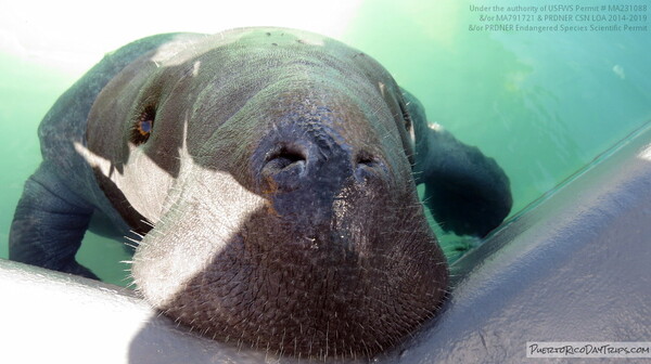
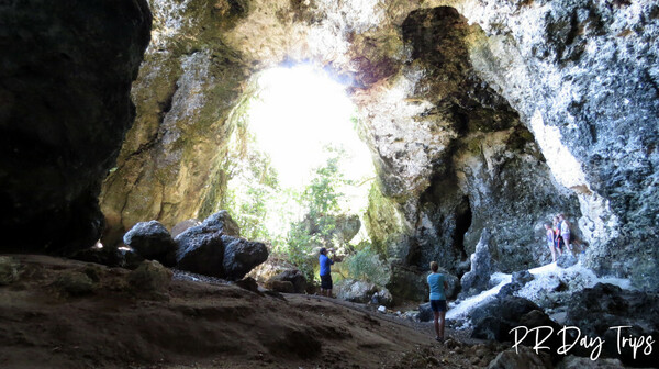
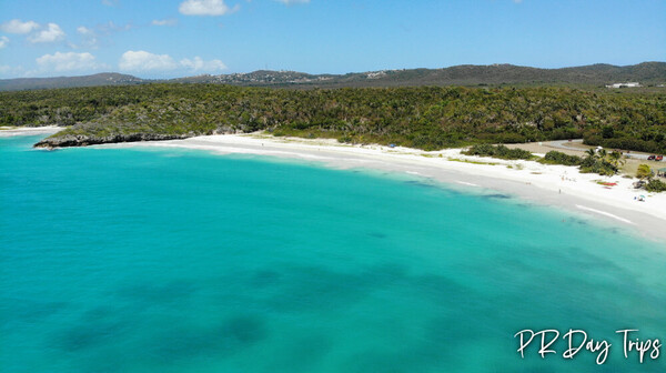
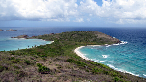
Some of Our Favorite Things to do With Kids
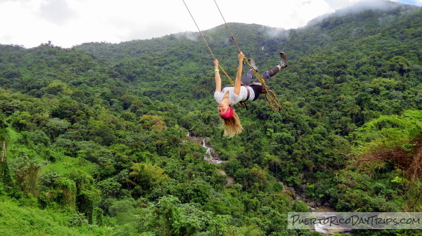
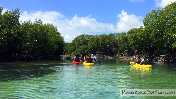
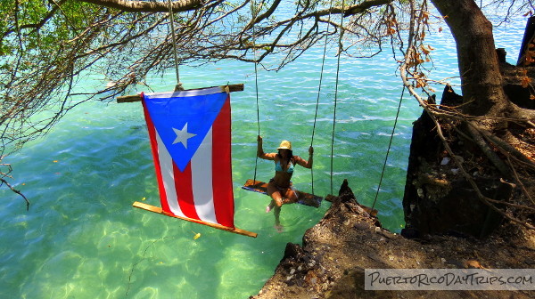
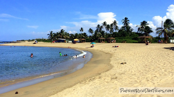
You have the little ones in tow and can’t figure out what to do that might be interesting to both you and them? Here are some things to do that will be fun for everyone in the family.