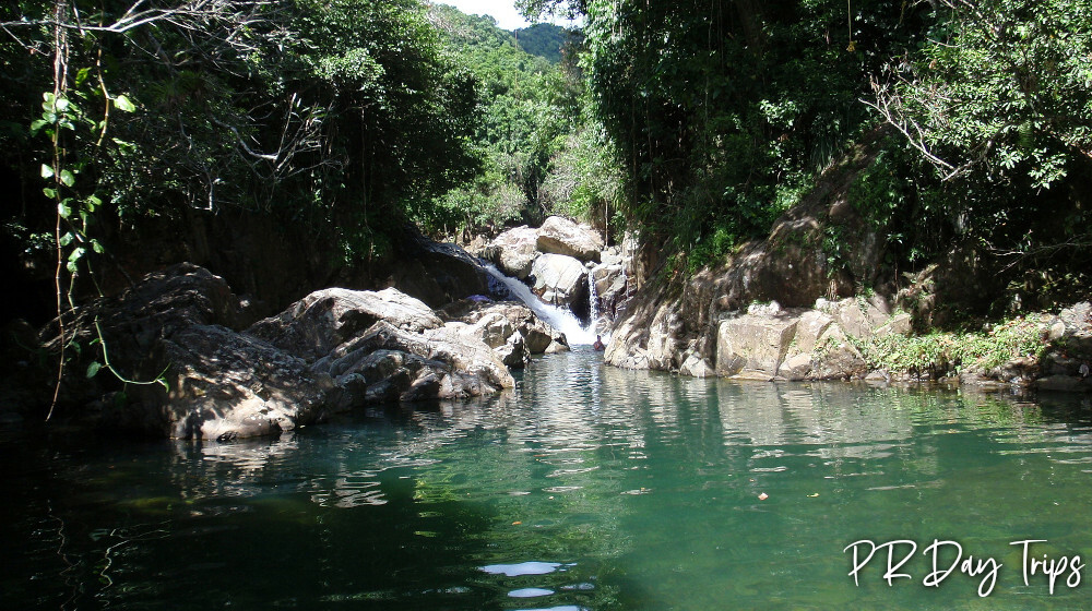
Explore the Carite Forest
There was lots of devastation in the forest from Maria- all the picnic areas were smashed by fallen trees. But there still is the path to Charco Azul. All Facilities and camping are closed..
The Carite Forest is located just up the road from the Guavate area in Cayey. The forest encompasses over 6000 acres and is maintained by the Departmento de Recursos Naturales y Ambientales (DRNA, or Department of Natural Resources) as a recreation area.
The forest has some great natural swimming pools and waterfalls. Since it is along the Ruta Panoramica, there are some great views to be seen, too.
We had an enjoyable day by eating lechon in Guavate, spending some time in the Carite Forest, and enjoying a drive along part of the Ruta Panoramica.
Things to do in the Forest
The only “hiking” trail that is open in Carite is the trail to Charco Azul. It is a short walking path that leads to a cute swimming hole that I think is definitely worth a visit if you are in the area.
Picnic Areas
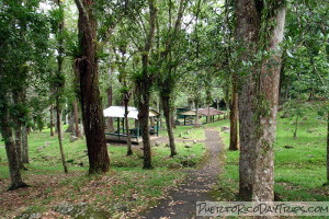
There used to be picnic tables/gazebos at the Guavate Recreation Area, just a few kilometers up the road from the lechonarias. But they were destroyed with Hurricane Maria. Last we went through, they still had not been repaired. If you drive another 15-20 minutes or so to KM 17.8, you will find a nicer picnic area along a river at the Charco Azul Recreation Area. This one gets busy on weekends, also.
Camp Sites
Since Maria, no camping is allowed in the Carite Forest, both camping locations- in the Guavate Recreation Area and the Charco Azul Recreation Area are in shambles.
Charco Azul Recreation Area
Sadly, the only thing the Carite Forest is "known" for seems to be Charco Azul, which is a cute, natural river pool with blue water.
By venturing off the official path, we were able to find some other more private and/or nicer swimming holes and waterfalls! We would never recommend that anyone do this. So if you do decide to do this, it’s at your own risk!
You can see the river from the parking area at the Charco Azul Recreation Area. We followed the river downstream, and found a number of blue pools — each one more private than the next. We had to alternately walk in the river and along the riverbank. It was not that easy — the river rocks are slippery — you need to wear water shoes or sneakers.
As we continued going downstream (about 30 minutes total from the parking area) we eventually came to the top of a waterfall. 7/21 update- there actually is a rope that might help you down, but be careful. And this is now call it Infinity Pool de Patillas. For a drier (though still touch) way, if you walk up the Rd 184 (going toward Patillas), you can find a trail down to the river. It is officially closed. It is a muddy and steep trail…we wrote about it here: Article about Infinity Pool.
Survivor Falls
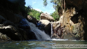
Our favorite find was Los Tres Chorros, which has 3 ponds and a waterfall. Located as you continue on Road 184 to KM 12.3 (or so), there is a bar on the curve called Los Tres Chorros. We parked on the right side of Road 184 and walked down the little street (down the hill toward the river), across the bridge and to the right across a smaller bridge. There, in the tall grass, there is a small foot-path that people have made to get to the swimming holes and waterfalls. If you follow this path to the end, you will find a nice waterfall and 3 blue pools.
We went swimming! The pools are very deep in areas. There’s even a rope swing. The locals call this place Survivor Falls (or Cascada SobreViviente), though I see it labeled Cascada El Survivor on Google maps now. While we were there, about 8 local kids were showing off tricks and telling us where to "safely" jump into the water. We thought it was a fun and beautiful place to play. Unfortunately, this area is very popular with the locals so it can get crowded and there is lots of trash along the trail.
The Details
If you want to check out the area but don’t have a car or want someone to show you the highlights of this area, check out at tour! Book a Tour for Lechon & Charco Azul
The forest is always open
From the San Juan area, take Route 52 south to exit 32 (that’s the Guavate exit). Turn left at the end of the ramp and take Road 184 up into the mountains. Turn right at the tee. The Guavate Recreation Area is located on Road 184 around KM25. The Charco Azul Recreation Area is located on Road 184 around KM17.8. Los Tres Chorros is located on Road 184 around KM12.
Click on a placename below to view the location on Google Maps ...
Activities booked through this page are booked directly with the activity operator. Other than referring you to the activity operator, Puerto Rico Day Trips LLC is not involved in the transaction between you and the activity operator. The activity operator is responsible for all aspects of processing bookings for its activities, including cancellations, returns, and any related customer service. Puerto Rico Day Trips LLC makes no representations regarding the level of service offered by an activity operator. Puerto Rico Day Trips LLC will receive a small referral commission for any activities that you book through this page.
All trademarks, logos and brand names are the property of their respective owners. All company, product and service names used in this website are for identification purposes only. Use of these names, trademarks and brands does not imply endorsement. Photos used to promote tours are the property of the original copyright owners.
Puerto Rico Day Trips LLC assumes no responsibility regarding your safety when participating in the activities described in this article. Please use common sense! If your mother or that little voice in your head tells you that you are about to do something stupid … then don't do it!
