Book a Tour for Today Explore All

6 Hour Private Kiteboarding Lesson Package
Waitlist

Horseback Riding Tour

Merchandise

9 Hour Private Kiteboarding Lesson Package

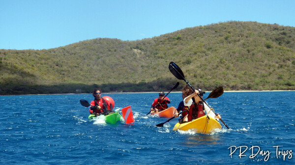
Double Kayak Rentals
San Juan
2 hours
Copy to Clipboard to Share

Hydroventure 2 in 1 Sunglasses and Ski Goggle

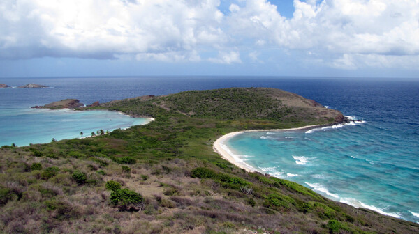
Swim the Bioluminescent Bay at La Parguera
1 hour
Copy to Clipboard to Share

Coco Libre Bar

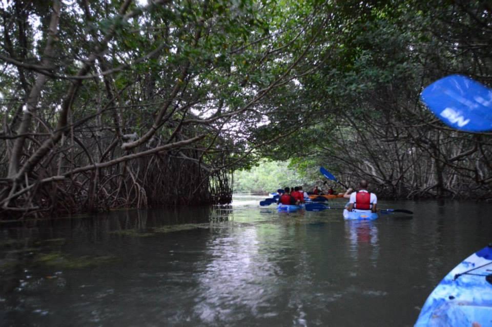
Clear-Bottom Kayaking Bio Bay Tours
Vieques
1.5 Hour
Copy to Clipboard to Share
Most Recent Posts


Find Inspiration
Today's Featured Tours Explore All

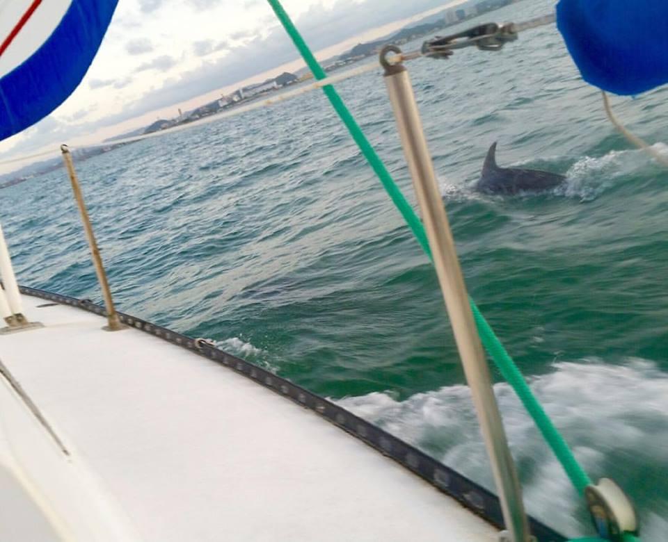
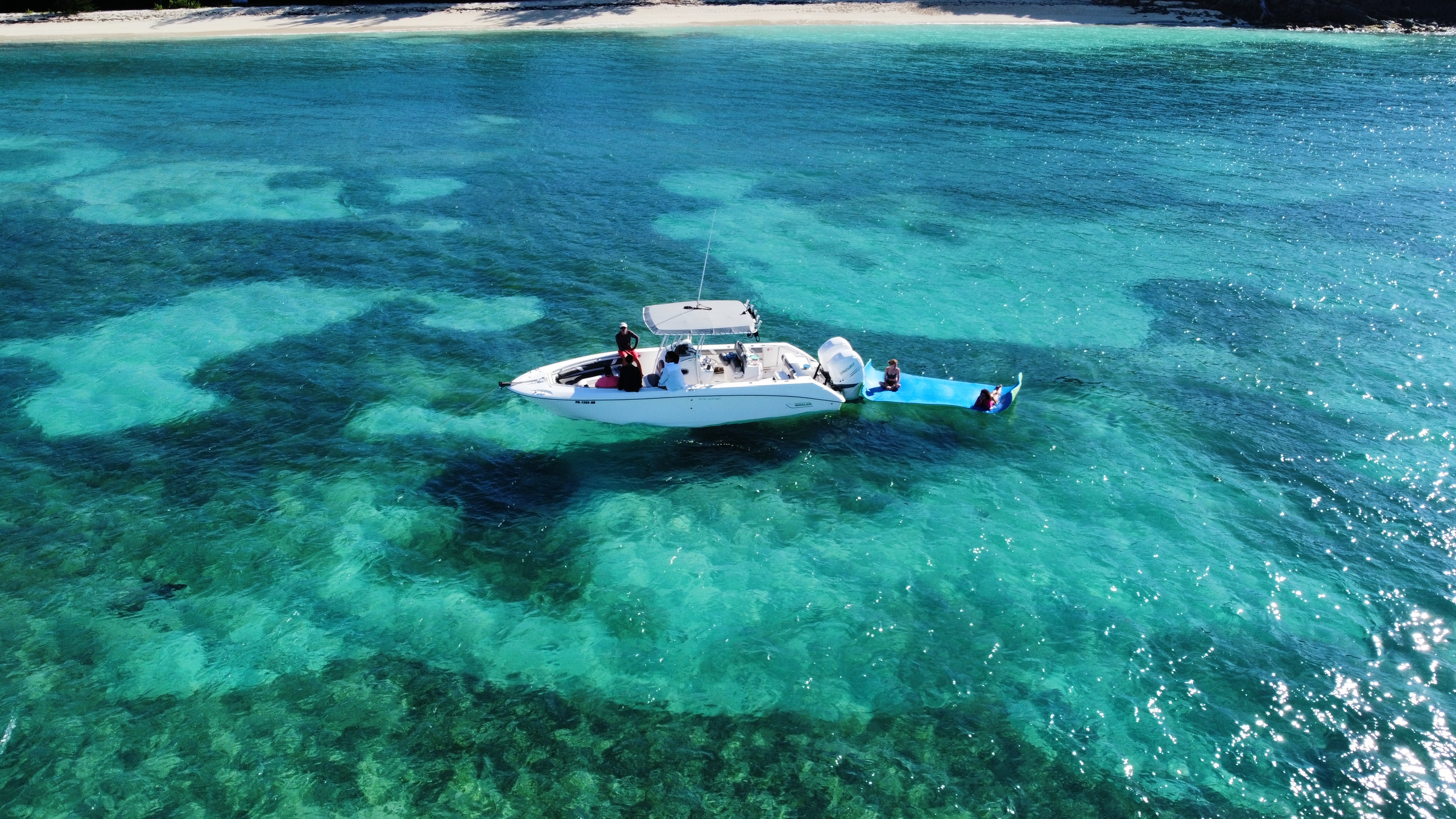
Scenic Sightseeing Guided Boat Tour
Carolina
90 minutes
Copy to Clipboard to Share

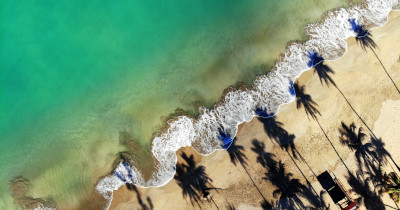
Group Beach Morning Glory Tour

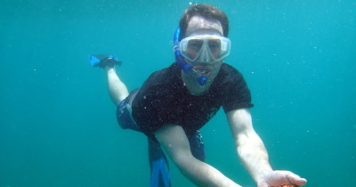
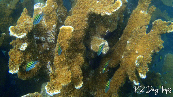
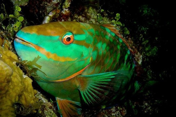
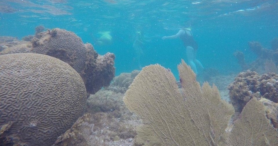
Coral Reef Snorkeling Tour

Two-Tanks Dives Crash boat
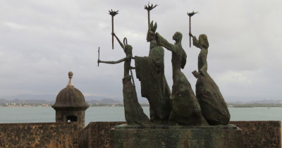
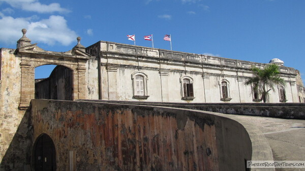
Old San Juan City WALKING TOUR

Bahia Boquerón Jetski Tour

Paddle Board Adventure at Mangrove Piñones
Carolina, Loiza
1.5 HR
Copy to Clipboard to Share
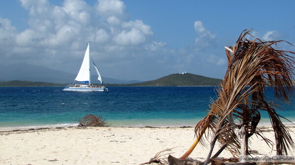
Afternoon Sail

Puerto Rico All-Access Map: 500+ Hidden Gems & Must See Spots

Half Day Charters
What Type of Visitor Are You?
Today's Top 10
Book a Tour for Tomorrow Explore All
Private Charter from Palmas Del Mar to Vieques
Hydroventure 2 in 1 Sunglasses and Ski Goggle
Bioluminescent Bay with Transportation from San Juan
Fajardo
2 Hours + 2 Hours Transportation
Copy to Clipboard to Share

Transportation

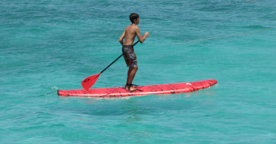
Paddle Board Rentals
Vieques
1 Hour - 1 Day
Copy to Clipboard to Share

Mixology Rum Class
75 minutes
Copy to Clipboard to Share

GTX 130 Jet Ski Rentals
Coco Libre Bar

San Juan to Fajardo Roundtrip Transportation

Flyboard for 1 Person
Where Do You Want to Explore?
Things To Do With Kids See More
Book Eco Tours Explore All

Romance and Waves: An Exclusive Escape for Lovers
Fajardo
3 hours
Copy to Clipboard to Share

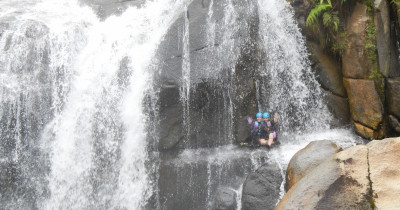
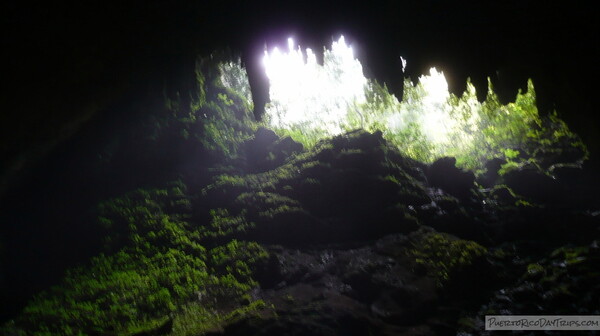
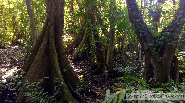
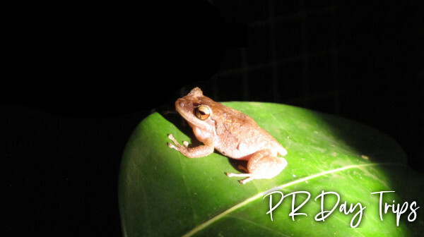
El Yunque Rainforest Night Tour
3.5-5.5 hours
Copy to Clipboard to Share

HORSEBACK RIDING
Luquillo
2 hours
Copy to Clipboard to Share
Nite Snorkeling and Boat Experience

Harvest + Cook
Snorkeling & Kayak Eco-Experience
Fajardo
3 hours
Copy to Clipboard to Share
Fajardo Bioluminescent Bay Kayak Adventure Tour
Carolina
5 Hours (Including transportation)
Copy to Clipboard to Share

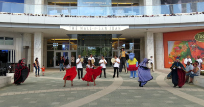
Debí Tirar Más Fotos a Boricua Bunny Experience
San Juan
6-7hours
Copy to Clipboard to Share
Full Day Snorkeling and Boat Experience
Fajardo
7 hours
Copy to Clipboard to Share

Iguana Hunts
Four Hours
Copy to Clipboard to Share